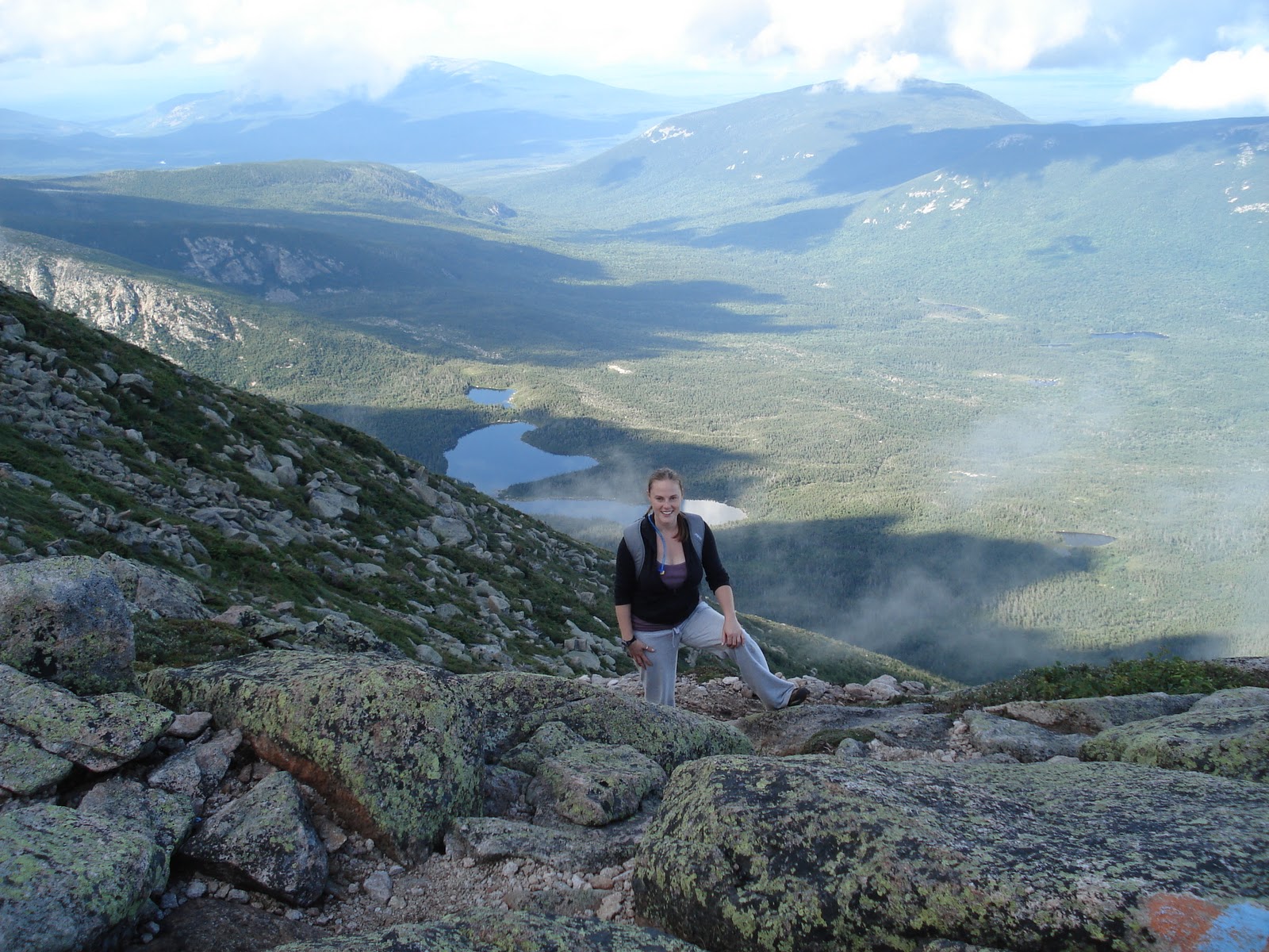
The mountains are calling and I must go. ~ John Muir

Sunday, January 9, 2011

Magazine Mountain, Arkansas ~ elevation 2,753 feet

August 27, 2008
           
Magazine Mountain via the Signal Hill Trail, 1 mi
Class 1; Elevation Gain 225 ft

An impromptu detour on our way west…


Although we intended to summit a couple of mountains on our drive west, Arkansas was not on our radar.  With Tim at the wheel, we played License Plate Bingo, listened to episodes of the Star Wars radio show on cd, and contemplated our next stop.  Tim spotted a sign on the side of the road that read, Magazine Mountain next exit.  After a very brief chat about whether or not to pull off, we opted to search for our next high peak. 

We followed the signs, our road map, and our trusty GPS way further than we anticipated and eventually came to the parking area at the Signal Hill trailhead.  To our dismay, this was going to be another ½ mile stroll, albeit a beautiful wooded jaunt through the Ozarks!

At the summit, we ran into an employee from the Department of Parks, who was power washing the stone map of Magazine Mountain and back at the car we met a wonderful older couple who has hiked all over southern Arizona.

Friday, January 7, 2011

Clingmans Dome, Tennessee ~ elevation 6,643 feet

August 25, 2008
           
Clingmans Dome via the parking area, 1 mi
Class 1; Elevation Gain 330 ft

The only peak all three of us have hiked...
that we didn't hike together

Julie on the Hen Wallow Falls trail

Clingmans Dome was the first high peak that Julie and Tim summited on our cross-country drive (and move) west.  We had a fantastic couple of days of camping, making pancakes in the rain, hiking waterfall trails, and hitting another high peak – even if it was only a ½ mile walk to the summit!

Clingmans Dome was mostly drivable, with a steep walk and a climb to the top of the observation tower.  On a clear day, they say you can see over 100 miles, with views of several states.  We saw clouds and haze as far as the eye could see and, therefore, couldn’t see much of anything.

We did, however, get to set foot on the AT once again!

A quick step on the AT
Tim, Whaddaya see?


Jerimoth Hill, Rhode Island ~ elevation 812 feet

August 16, 2008
           
Jerimoth Hill via a dirt road, apx 235 yds
Class 1; Elevation Gain 7 ft

A stroll through someone’s backyard…
In flip flops

Tuesday, January 4, 2011

Mount Washington, New Hampshire ~ elevation 6,288 feet


Mount Washington via the Tuckerman Ravine Trail to the Lion Head Trail, 4.3 mi one way
Class 1; Elevation Gain 4,270 ft

Another rock…
Way too soon

After only one day of rest, we loaded the car and headed from Maine to New Hampshire, for the second peak in our High Peaks Tour.  We pulled into the Lafayette Campground in Franconia Notch and hobbled around the grounds taking pictures of the beautiful Presidential Range (ok, Julie hobbled, everyone else was healing nicely).


The next morning, we headed to Mount Washington’s trailhead.  What would have been a less strenuous hike than Katahdin was made more challenging, due to summiting in Maine only 48 hours earlier.  It was a bit too soon for the steep ascent and, although we are not big fans of drivable summits, it was a blessing to have a van ride back down to the parking area.


The best part of reaching the summit of Mount Washington?  Aside from being able to check Washington off the to-do list, seeing amazing views, and feeling the satisfaction of making it, was the little girl, with the awestruck look that said, “Did you really hike the whole thing???"


Monday, December 27, 2010

Mount Katahdin, Maine ~ elevation 5,268 feet


August 12, 2008

Mount Katahdin via the Chimney Pond Trail to the Cathedral Trail to the Knife Edge to the Helon Taylor Trail, 9.2 mi
Class 2; Elevation Gain 4,300 ft

The end of an era…
Or so we thought!


From the moment we pulled into the Moosehead Lodge in Baxter State Park, we knew this would be a trip that would alter our existences.  Mount Katahdin was to be the start of our “High Peaks Tour” and Julie and Tim’s farewell to the northeast.  We were not only embarking on more challenging hiking than we had previously experienced, but two of our three members were getting ready to move to the “left coast”. 

We pulled in, chose our campground, set up our tents, and headed for the ranger’s station to check out some additional maps and trail advice.  The ranger warned us not to take the Knife Edge trail, but when we insisted that it was a major goal of our trip, he suggested we should take extra flashlights (“…because if you have them, you won’t need them”).  

We chatted some more, confirmed our route, looked over the 3-dimensional model of Mount Katahdin and went in search of the nearest supermarket.  As we were hunting for steak, turkey burgers, beans, and hotdogs (purchasing food for a week of hiking in Maine and New Hampshire), Jim’s cell phone rang.  Not only were we shocked by the cellular service, but Jim had a pleasant surprise awaiting him on the other end of the phone.  A company that he had recently interviewed with was offering him a job and the opportunity to also move west.  So much for splitting up after this adventure – we were now going to continue our journey to summit America’s highest peaks together!

The following morning, we set out early and headed to the trailhead.  Although we always have them, we heeded the ranger’s advice to take extra flashlights.  The start of the hike was damp, yet pleasant.  Once we hit the field of boulders, the terrain quickly changed.  Jim was the only one of us that had much previous experience in climbing and bouldering.  Although it wasn’t terribly treacherous bouldering, it was a little nerve-racking for Julie (little did she know what was coming after the summit!).


As we continued up, we hit the Cathedrals, all three, and climbed through and above the cloud-line.  The Cathedrals were challenging; they were steep, cold, damp, mossy, and lichen-covered.  Each was more difficult than the last, with the final Cathedral being close to a vertical scramble.

Jim at the base of the Cathedrals

Our view from above cloudline

Getting started on the
Cathedrals
We were thrilled to hit the summit and enjoyed our hummus and pita in the wind, while convincing other hikers to brave the Knife’s Edge trail that we were getting ready to tackle.  Supposedly, there was a narrow trail that would wind its way along the side of the Knife Edge.  Unfortunately, this trail was just as steep and treacherous as climbing over the serrated edge of the rock.

It was scary; it was stunning.

When we reached the other side, we knew we had accomplished an amazing feat.  After tons of pictures and a brief break, we began to make our descent at Pamola.  The downward slope felt like it took a life-time and, just our luck, it poured for more than half of our trek.  We threw on our rain gear, covered our packs, checked our head lamps and ran the rest of the way to the trailhead, where our car was a safe, dry haven for the weary.

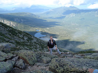
A look back at the Knife Edge


After a quick campfire and dinner, we hit the sack  and nursed our sore muscles and knees the entire next day.  That night, we strolled to the lodge for dinner, met up with some interesting locals and other hikers, letting them know that “if I never see another rock, it would be too soon.”
           
Overall, Mount Katahdin was one of the best alpine views we’ve had, as well as our first true physically and emotionally challenging hike.

Saturday, December 18, 2010

Sassafras Mountain, South Carolina ~ 3,560 feet

April 24, 2008
           
Sassafras Mountain via the Foothills Trail to Chimneytown Gap, apx 8 mi
Class 1

Our first high peak affianced…
And clearly sans Jim
Tim checking altimeter atop summit


Road trip!  We were headed to Spartanburg, South Carolina for a friend’s wedding and took a quick detour to hit another high peak.  We drove the windy road most of the way to the summit and witnessed the beginning of spring on our relaxing hike into the valley and back.  The sun was shining, birds were chirping, insects were crawling, and re-growth and new life were plentiful.
  

Signing in at the summit register


Friday, December 17, 2010

Bear Mountain, Connecticut ~ elevation 2,316 feet

November 3, 2007
           
Bear Mountain via the Undermountain Trail to the Paradise Lane Trail to the Appalachian Trail, 6.7 mi loop
Class 1; Elevation Gain 1,500 ft

One, of many, in which we sectioned the AT…


After a stunning fall drive through the adorable, quaint town of Salisbury, Connecticut, we headed for the Undermountain Trail parking lot, which was as easily missed as they say.  We layered up and headed for the trail, only to find a missing person sign at the trailhead.  
White blaze marking the AT


With heavy hearts we began our ascent to the summit of the highest peak, although not the highest point, of Connecticut (Mount Frissell takes the highest point, measuring 2,380 feet, but it's summit lies in Massachusetts.)


We hiked over rocks and through a dicidious forest, stripped of it's leaves, until we came to the bitter cold and violently windy summit.  There we saw what appeared to be a collapsed structure, but we later came to learn was actually an 8 ft high flat-topped stone pyramid, built in 1885.


Tim and Julie making their way
down the mountain